Milestone
Spectral Flow joins QuIC, the European Quantum Industry Consortium
Spectral Flow is now a member of QuIC, the association of Europe's quantum technology industry.

We read the Earth's magnetic field with atomic-scale defects in diamond, and return a position with a guaranteed error bound.
The problem
Jamming and spoofing of satellite navigation are on the rise. When the signal is lost, the inertial unit carries on alone and drifts. When it is spoofed, the receiver can follow a false position.

Aircraft cross areas of jamming and spoofing every day. Crews need to know how far to trust the position on their screens.

Vessels, and the drones that survey ports and coasts, rely on satellite positioning. When it fails, they need a reference they carry with them.
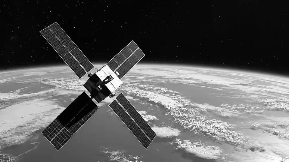
In orbit, satellite positioning cannot always be counted on. Around Mars there is none at all: a spacecraft has to work out where it is on its own.
Illustrative images.
+193%
Reported jamming events rose 67% in 2025 compared with 2023, and reported GPS spoofing incidents 193%.
Source: IATA, 9 March 2026, “IATA Releases 2025 Safety Report” (opens in a new tab).
1,500
By August 2024, about 1,500 flights a day were being spoofed, up from about 300 in January.
Source: OPSGROUP, 6 September 2024, “Report of the 2024 GPS Spoofing Workgroup” (opens in a new tab).
Mapped every day
The map shows where aircraft lost confidence in satellite positioning. It cannot show how wrong each position was.
That is the question our instrument is designed to answer.
Why it mattersThe map is built from aircraft ADS-B reports. Third-party data, not Spectral Flow's.
The error bound
Every fix comes with its error bound.
Between magnetic fixes the bound widens, and at each fix it tightens again. Integrity comes first: the instrument says when not to trust it, so the system it feeds can decide what to do.
More on the error boundHow it works
Four steps, on board. It completes the inertial unit, it does not replace it.
01
Sense
Diamond sensors read the Earth's magnetic field. The crust adds a fingerprint to it that changes from place to place and is mapped by magnetic surveys. Passive: the instrument reads the Earth's own field and needs no external signal.
02
Reject
Motors, currents and steel give every vehicle a magnetic field of its own. The instrument is designed to reject the platform's own magnetic field on board, in real time.
03
Match
The cleaned reading is matched against the magnetic map of the area to fix the position.
04
Bound
Every fix comes with its error bound, so the navigation system knows how far to trust it.
They compensate. We measure.
Magnetic navigation has long modelled the vehicle's own field from a calibration flight, then subtracted it. Our instrument is designed to reject the vehicle's field on board as well, in real time, so that less is left for the model to correct.
Why diamond
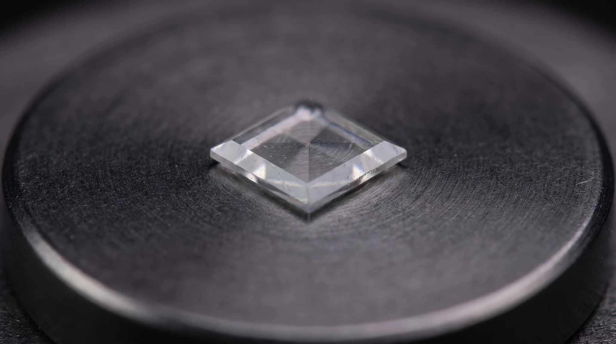
A nitrogen-vacancy centre is a defect in diamond that behaves like a tiny compass you read with light.
Room temperature.
No cryogenics, no heating, no consumables.
Survives the platform.
Diamond is a hard, stable crystal. The sensor is designed for the vibration and shock of a moving vehicle.
Four crystal axes.
The vector comes from the lattice: NV centres line up with the four bond directions of the crystal, and together they give the direction of the field as well as its strength.
Mission demos
Our mission demos fly the whole navigation chain in simulation, live in your browser: a magnetic map, a vehicle with its own interference, the sensor and the navigation filter.
Inject faults, see the instrument flag them, and read the debrief. Every figure is model-derived: a simulation still to be calibrated against hardware, useful in relative terms. No account needed.
Position error over a GNSS-denied mission
Simulation · model-derived
Where we stand
What is done, and what comes next. Every performance figure we show today is model-derived, from simulation.
As of October 2026
2 April 2026
Company registered
Spectral Flow SAS, Villefranche-sur-Mer, France.
July 2026
Mission demos open to all
A full mission in the browser, every figure model-derived.
July 2026
Deeptech qualification
Qualified as a deeptech company by Bpifrance.
September 2026
Seventeenth patent application
Seventeen patent applications filed in 2026: sixteen UK provisional, one French.
October 2026 · Now
Prototype designed
Our first mobile prototype is designed; assembly starts once funding is confirmed.
Next
Assembly, then first measurements
Assembly of the first mobile prototype, then its first measurements.
One platform
Navigation is the first instrument. Its core, spins in diamond read with light, can serve other fields too: life sciences, semiconductor inspection and quantum computing.
News
Milestone
Spectral Flow is now a member of QuIC, the association of Europe's quantum technology industry.
Milestone
The design of our first mobile prototype is complete. Assembly starts once funding is confirmed.
Event
Spectral Flow has been selected to pitch at Tech Tour Quantum & Defence 2026, in Berlin on 8 and 9 October.
Events

Berlin, Leonardo Royal Hotel
We were selected to pitch to investors and experts in quantum and defence technologies. Ask us for the live mission demo.

Paris, CNES
A day on space for the maritime world, organised by CNES, GICAN, GIFAS, the SAFE cluster and Pôle Mer Bretagne Atlantique. We speak about quantum magnetic navigation at sea and in space.

Cannes, Palais des Festivals
The space community of the Région Sud meets in Cannes. Ask us to fly the space profile of our mission demo with you.


We work with the best European research laboratories in diamond growth and nanofabrication, photonics and spin physics. Their names are available on request.
Contact
We are looking for programme partners: navigation integrators, research laboratories and investors who bring a programme.